TOOLS
DRONE & SURVEYING
Drone & surveying
VUM currently has two quadrocopters from DJI (Phantom 4 pro v2.0 and Mavic 2 pro). The drones support our activities in environmental and project management.
Contact
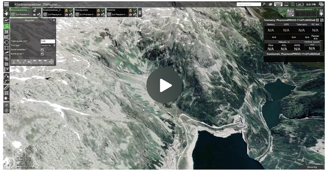
Digital flight planning
Elevation profile and other parameters
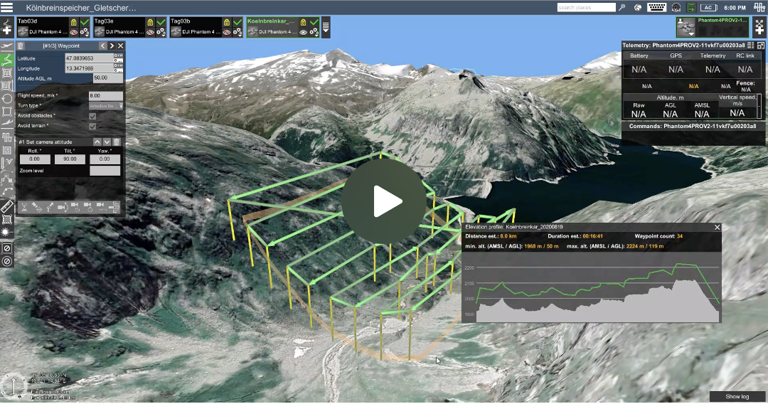
For simple aerial surveys, which serve the purpose of taking photos for documentation purposes, our pilots control the drones manually. In the case of an area-wide survey of the terrain, we first carry out digital flight planning in preparation for a drone flight. For this purpose, a polygon (yellow line & yellow pins) is staked out from the starting point (location of the drone pilot, green pin), which represents the outer limits of the area to be flown. We then define a flight route for the drone that is as battery-friendly as possible depending on the terrain. At the end of the flight planning, the total area and the dimensions of the area to be covered are digitally visible. In addition, we define the flight altitude, overlap and other parameters, which result in, among other things, the resolution of the photos and the frequency of triggering the camera. The parameters are decisive for the uniform quality of the digital terrain models and orthophotos.


